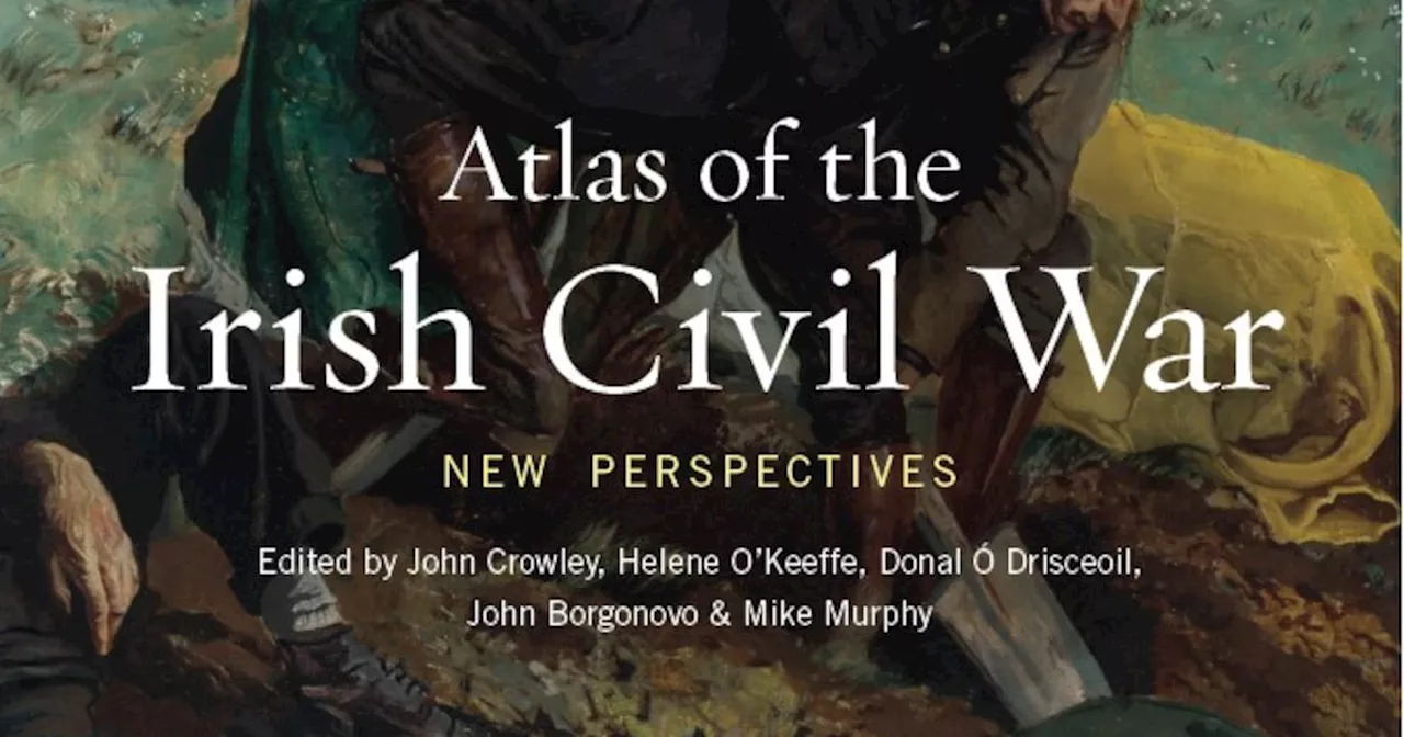
On a colour-coded map, Kerry’s grim ratio of deaths is represented by a shade that looks like dried blood
Among the revelations of the Atlas of the Irish Civil War, the latest in a sumptuously illustrated series from Cork University Press, is the extent to which the conflict was concentrated in Kerry.
Limerick and Tipperary, meanwhile, are a vivid red. Other surprises of the map are that, joining them with that colour, are Sligo, Louth, and Kildare. Then there is the survey of broken bridges, a metaphor for civil war but also a measure of the practical difficulties of Irish rural life after a troubled decade.
But one night before the 1922 general election, three anti-Treaty IRA men including Bob Briscoe broke into Figgis’s house and gave him an enforced shave. As befits a production of such visual quality, the Atlas devotes space to one of the gorgeous designs from Art O’Murnaghan’s extraordinary Leabhar na hAiséirighe/Book of the Resurrection.
Ireland Latest News, Ireland Headlines
Similar News:You can also read news stories similar to this one that we have collected from other news sources.
 Frank McNally on the sinister past of a Dublin street gardenA part of Ballybough that was once shunned by superstitious locals
Read more »
 – Frank McNally on the unholy resonance of an old Christian hymnSchmuck was once considered so offensive that people had to invent a politer alternative
Read more »
 – Frank McNally on the bicentenary of Howth Road and more about wakesI now belatedly realise that the road starts in London
Read more »
 Frank McNally on why horses’ heads (and the occasional saint) used to be buried under buildingsThe foundation sacrifice
Read more »
 Red Letter Day — Frank McNally on the Zinoviev Letter, an “October Surprise” of 1924How decisive the letter really was is still debated
Read more »
 – Frank McNally on an exhibition about the Irish of the French RésistanceA fitting venue
Read more »